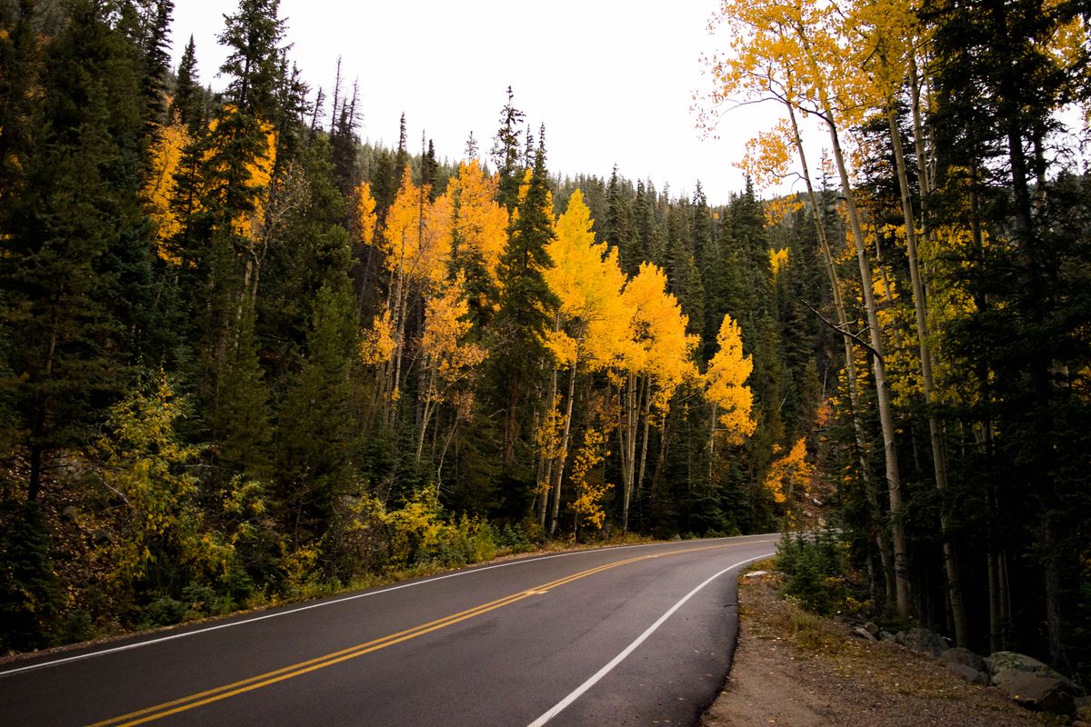
Fall Colors in Boulder and the Sunshine Canyon Foothills
Aspen gold up high, cottonwood and sumac red down low, and a maple avenue right in town. If you are planning a group trip around Colorado's fall color, this page gathers the places we send our own guests, what each one costs or requires, and who to check before you leave the house.
Updated each fall. This season's guide, with what is open right now, lives on our 2026 fall color guide.
When Color Arrives, and Why Nobody Can Promise a Date
Here is the honest version: the aspens at 9,000 feet turn weeks before the maples on Mapleton Avenue in town. We do not publish a peak date on this page, because no land manager publishes one, and the color moves with elevation, sunlight, and the year's weather. What we can tell you is that the City of Boulder's own open space page calls the first and second week of October generally the best window for color in and around Boulder. Timing varies by elevation, and it always will. Check the city's fall colors page as your trip gets close; it is the source we trust.
The Spots, and Who Manages Them
Every place below is managed by a public agency, and the details come from that agency, not from a leaf-peeping blog. If a fact is not on the agency's page, we do not print it.
In Town: Mapleton Avenue, the Urban Canopy, and the Creek Corridor
City of Boulder Open Space and Mountain Parks
Sunshine Canyon Drive turns into Mapleton Avenue on its way down to town, and Mapleton is lined with maple species that turn shades of yellow, red, and orange; the City of Boulder's fall colors page notes the largest red maple in the state stands at 9th Street and Mapleton Avenue. Panorama Point and Chautauqua Meadow give you the view back over the whole urban canopy turning at once, and the city's page warns that parking at Chautauqua can be a challenge. For the reds down low, the city points to South Mesa Trailhead and the Homestead Trail above South Boulder Creek, where the cottonwoods and sumacs go bright, and to Sawhill Ponds east of town. Gregory Canyon sits right at the edge of the foothills with plenty of trails, and the city's page is direct about one thing: bears are actively feeding there in fall. Give them room.
Source: Where to See Fall Colors in and Around Boulder, City of Boulder
The Drive: Peak to Peak Scenic Byway
Colorado Department of Transportation
North from Boulder through Nederland and up toward Estes Park, the Peak to Peak is Colorado's oldest scenic byway, established in 1918. CDOT puts it at 55 miles and about 80 minutes of driving time, with the Continental Divide in view nearly the whole way. The byway passes Rocky Mountain National Park, Golden Gate Canyon State Park, the Arapaho and Roosevelt National Forests, the Indian Peaks Wilderness, and Eldora. Gravel side roads lead to high-country lakes, trailheads, and the east portal of the Moffat Tunnel. This is the drive we hand groups who want maximum color for minimum boot time, and it starts about fifteen minutes from the house.
Source: Peak to Peak, Colorado Department of Transportation
The High Country: Brainard Lake Recreation Area
US Forest Service, Arapaho and Roosevelt National Forests
Up the Peak to Peak at Ward, Brainard Lake sits in a glacial valley under the Continental Divide, with subalpine forest that goes gold early and hard. The Forest Service's own seasonal page has the details that matter: the recreation area runs a timed-entry reservation system to park inside, in effect through mid-October. You can park at Brainard Gateway Trailhead year-round with no reservation, but it is two miles from the lake. A few things that catch people: there is a day use fee, opening and closing dates shift with the weather, several trailheads lead into Indian Peaks Wilderness which has its own regulations, and dogs must be on a hand-held leash May 1 through Nov 14. If you want to park inside, the Forest Service sends you to recreation.gov to buy the timed-entry reservation.
Source: Brainard Lake Seasonal Information, US Forest Service
The Quiet Alternative: Caribou Ranch
Boulder County Parks and Open Space
Also on the Peak to Peak corridor, near Nederland, Caribou Ranch sits between 8,300 and 10,000 feet, with aspen along the Blue Bird Loop and meadows under the Divide. Two things a group planner needs to know from the county's page: the park is day use only, and it closes every year from April 1 through June 30 for migratory birds and elk calving, so it is open through the fall season. The Blue Bird Loop is 1.8 miles and rated moderate; the DeLode Trail is 1.2 and easy. No pets, no bikes, no camping. The trailhead has 25 parking spots, and when the lot fills, parking is allowed on the south side of County Road 126.
Source: Caribou Ranch, Boulder County Parks and Open Space
Before You Head Up
The aspens do not check a schedule and neither should you, entirely. Conditions and closures can change any week in the foothills, so check before you go:
- Current alerts for the Arapaho and Roosevelt National Forests, US Forest Service
- OSMP trail closures and advisories, City of Boulder
- Current restrictions in Boulder County, Boulder County
- OSMP parking permits and fees, City of Boulder. Some trailheads require a parking permit for vehicles not registered in Boulder County.
- Getting to Boulder open space, City of Boulder, including the seasonal Park to Park shuttle to Chautauqua on summer weekends and holidays, and the free Eldo Shuttle that runs weekends and holidays in summer and fall between Boulder and Eldorado Canyon State Park.
Where to Stay
Sunshine Canyon Retreat sits on Sunshine Canyon Drive, and the canyon itself turns: the aspens along the drive up from Boulder, the gambel oak on the slopes, and then the whole city canopy below you. You can watch the foothills change from the deck with your coffee. For a group, it is hard to beat a single house that sleeps everyone and sits between the in-town maples and the high-country aspen, close enough that people can nap between outings. Our contact form is coming, and when it does, this page will carry it.
Stay in the canyon
Sunshine Canyon Retreat is a private mountain home on Sunshine Canyon Drive, just above Boulder. Book direct with us.
Check dates and book direct